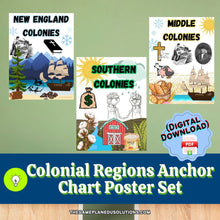
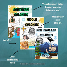
Help your students differentiate between the New England, Middle, and Southern colonies in a memorable, visual way!
This Colonial Regions Anchor Chart Poster Set will assist your students in distinguishing the characteristics of the New England, Middle, and Southern Colonies.
With clear visual depictions created to support and scaffold all learning populations, this Colonial Regions Anchor Chart Poster Set can be used for:
- As a scaffold when asking students trivia questions
- As part of a sorting challenge (Great in conjunction with the Colonial Regions Sorting Activity which you can see HERE!)
- To support visual learners during direct instruction
- As part of a gamified trivia review (Great in conjunction with the Colonial Regions Slides which you can see HERE!)
- As a guide to help students write written responses
Support your students in being able to distinguish between the 3 Colonial Regions with this Anchor Chart Poster Set which includes:
✅ Downloadable 3-page PDF document which can be printed at 18x24 or smaller. Non-Modifiable.
👉Need it ready to use? Click HERE!
👉Ideal for 6th grade and up.
This Resource is designed for individual classroom teachers for instructional purposes only and may NOT be used/mass-produced/shared /re-created/etc. free or paid, to others who are not the students of record learning from the teacher that purchased the license. For additional licenses, a separate purchase can be made.
This handout is not designed to be used by any Consultants/Trainers/Programs/University Campuses etc. as a training tool/sample for their students on educational practices/pedagogy/methodology etc.
All Rights Reserved.


